
We described on one site an aborted attempt to visit a Mercer Island park. A successful visit took place two years later. We sought to update the original page with a map showing almost identical locations for original and recent pictures.
▷Mercer Island. With 1% battery remaining I took my one shot then turned around to retrace my route home. The art was distinctive. I'll watch for it on future trips.
Sunny and hot ahead with a visit to Seattle. Will look for striking architecture large and small.
# Strategy
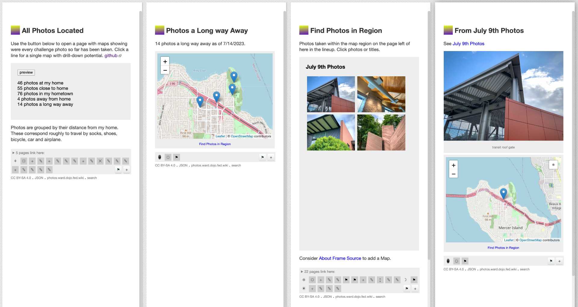
During the week of July 9th we took photos in both Portland and Seattle. We offered two maps with BOUNDARY set for each region. Here for Seattle:
BOUNDARY 47.4707727, -122.4882346 BOUNDARY 47.7120123, -121.9344298 PAGE
Our thought was to "freeze" this map then drag the frozen map to the 80th Avenue Parking page. This failed on two counts: Freeze ignored the boundary and thaw did not restore the boundary once ignored. Revised freeze logic is under consideration.
# Alternative
We have experimented with a variety of ways to aggregate our daily photographs. We will look into one mechanism that looks at distance from home as a grouping criteria.
How might wiki offer views into our recorded lives that include the touch of the creator not present in commercial photo applications?
Use the button below to open a page with maps showing were every challenge photo so far has been taken. Click a line for a single map with drill-down potential. github ![]()
Regretfully, the Frame script logic has been coded in a way that assumes a specific origin so fails when run as a remote page. Further, the sequences of steps required to map selected images runs locally between ghost pages and is not recored in a repeatable way.
Four steps required to create a sharable map.
Further, the map finally produced fails in two more ways: It shows only one image, not the four images from the selected region, and, the generated map is not intrinsically portable because it unnecessarily uses the PAGE markup to discover locations from context.
# Improvements
The Find Photos in Region script could provide marker-source for a Map plugin using PAGE markup which could then be frozen.
Freeze logic might be sufficient for copying a frozen page but will not offer any user-facing mechanism for revising marker labels. Freeze could rewrite markup in place of using hidden page json fields.
The Find Photos in Region could generate portable and editable markup for the maps it produces as it knows lots of details from the Image Caption Survey that it consults.
The Find Photos in Region could also offer to map multiple images at once, probably all images from the selected region with map BOUNDARY set accordingly.